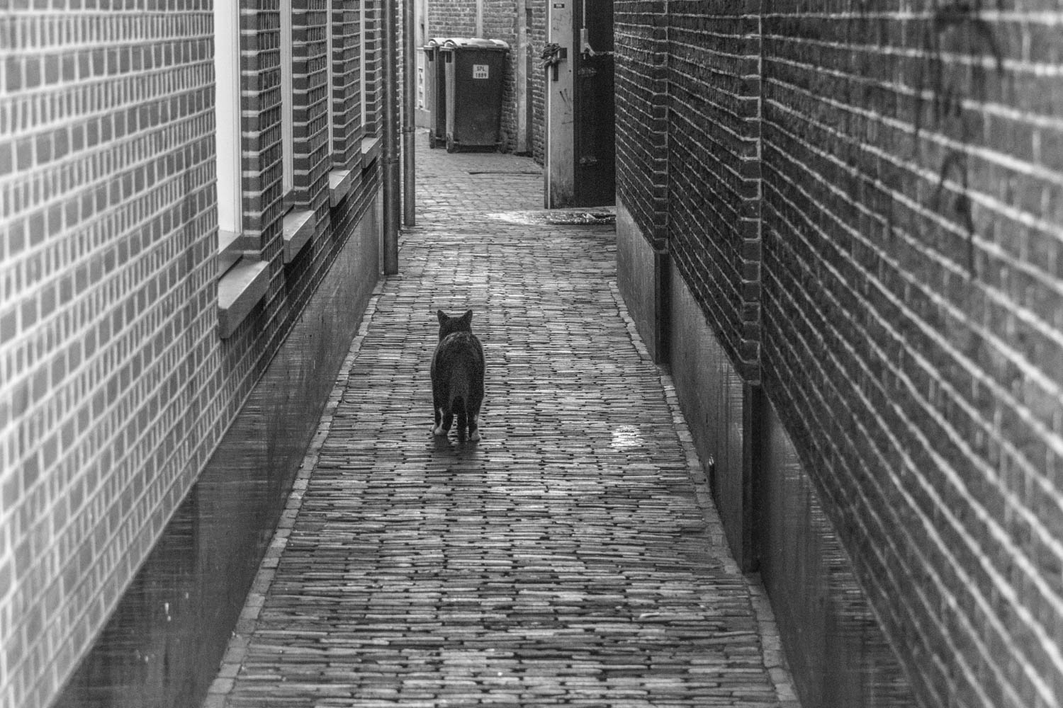
While on a walk I passed this alley and noticed a cat, so I took a shot with my NikonD5300.
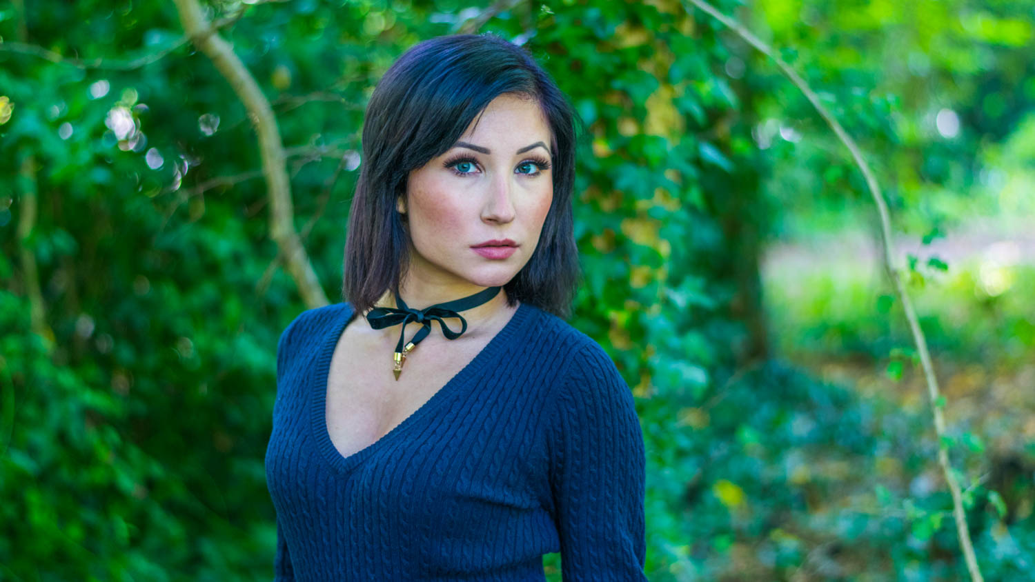
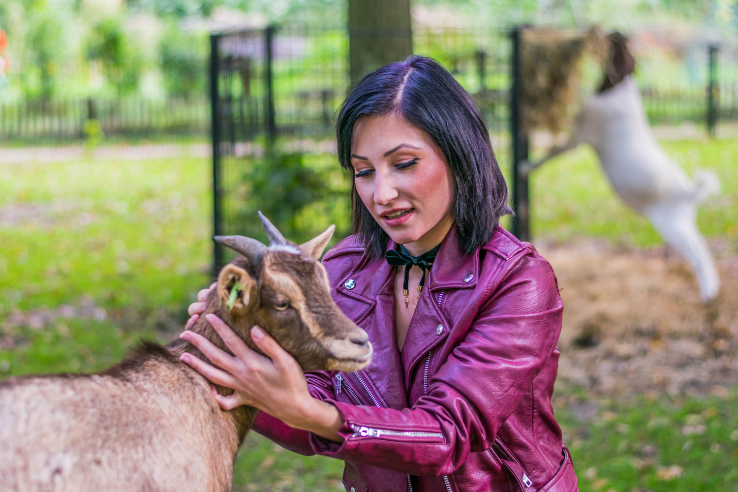
This model was nice enough to do a photoshoot with me, we mostly stuck to a park here in Haarlem.
Taken from WikiPedia
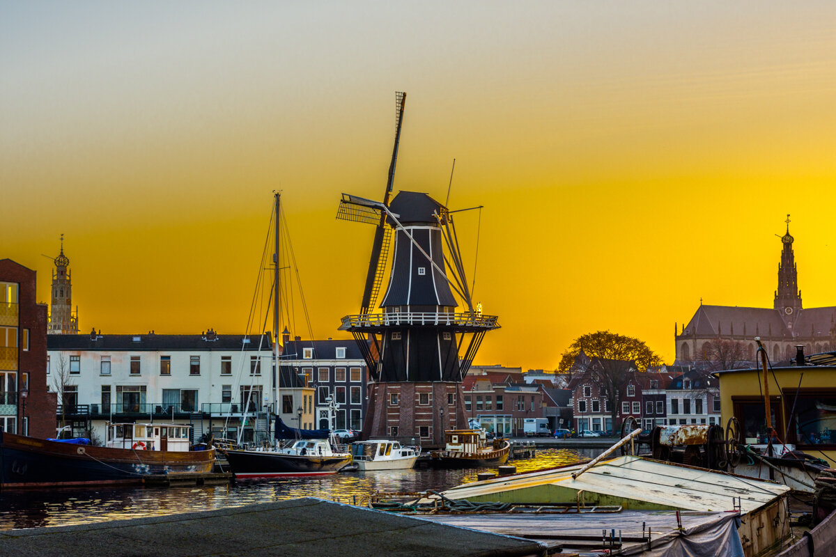
The windmill was built on the foundations of the Goevrouwetoren by Adriaan de Booys, an industrial producer from Amsterdam. The Goevrouwetoren, or Goede Vrouwtoren (Goodwife Tower), had been the northern support of the city's Catrijnenpoort, a defencework over the River Spaarne. By the late 18th century, the gate was redundant due to the expansion of the city, and de Booys bought the tower and the land around it from the municipality of Haarlem on April 24, 1778. By reinforcing the foundations with wooden supporting poles, the mill was built to 34 metres above the level of the river, and above the surrounding city. De Adriaan was officially opened on May 19, 1779.
De Booys was granted permission to build a windmill to produce cement, paint, and tanbark. The windmill was built under the supervision of miller Henricus Ruijsch from Waddinxveen. De Booy earned the concession to be the sole producer of cement in the city for 25 years.
De Booys sold the windmill to Cornelis Kraan in 1802. The monopoly on cement had not been as lucrative as De Booys had hoped for; a competitor evaded the law by importing cement from Dordrecht. The windmill was sold for 1650 guilders, and Kraan converted the mill into a tobacco mill, to produce tobacco snuff. Kraan already owned a tobacco shop, at the Grote Houtstraat (number 12).
In 1865 a steam engine was placed in the windmill by the then owner, J. van Berloo, but this was not a commercial success. In 1925 the windmill was bought for 12,100 guilders by the Dutch windmill society Vereniging De Hollandsche Molen to prevent demolition.
The mill was severely damaged by a storm in 1930.
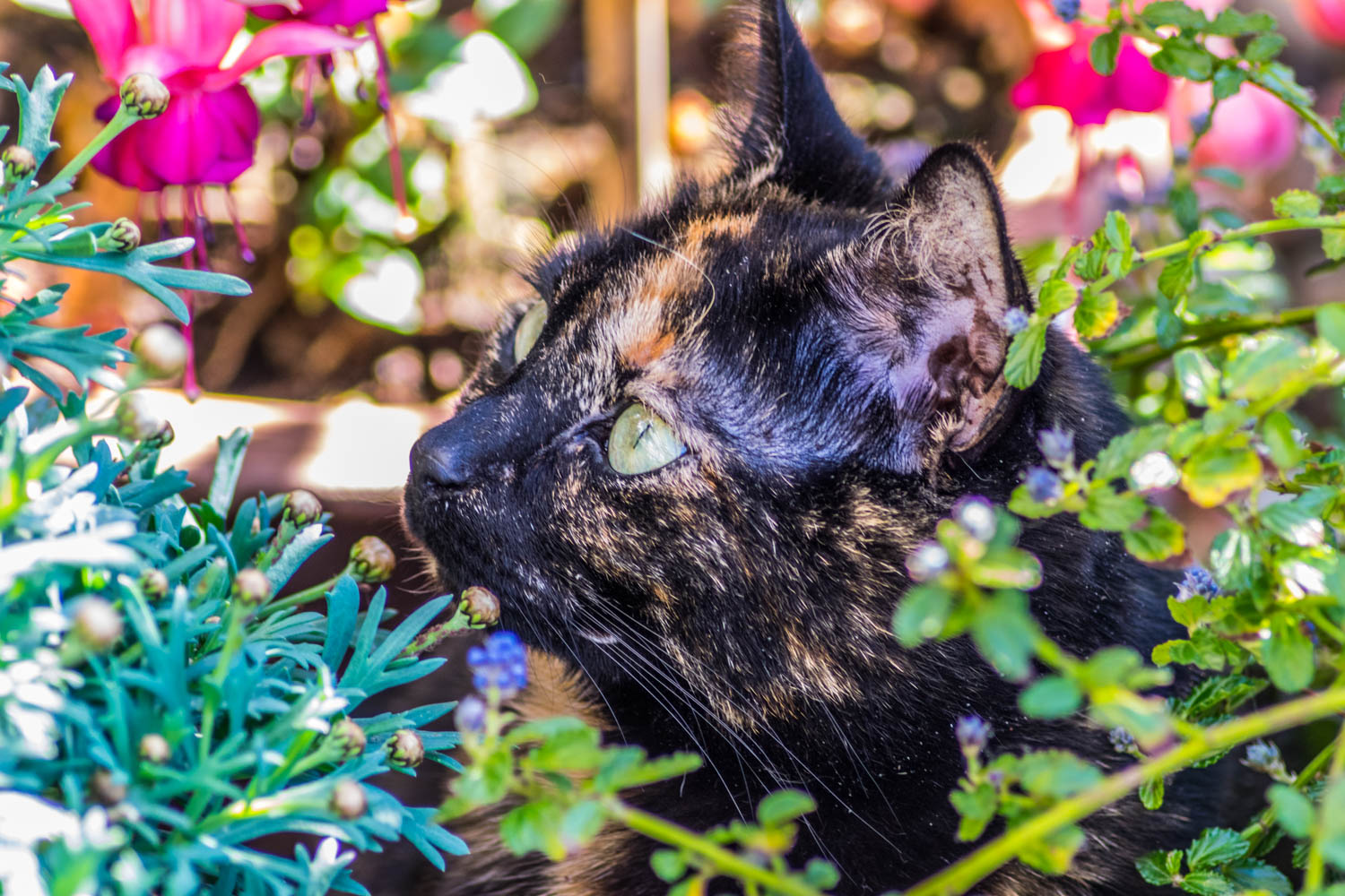
This is the first time Java went on the terrace when we brought her home from a rescue shelter. She was so happy to have so much room to roam.
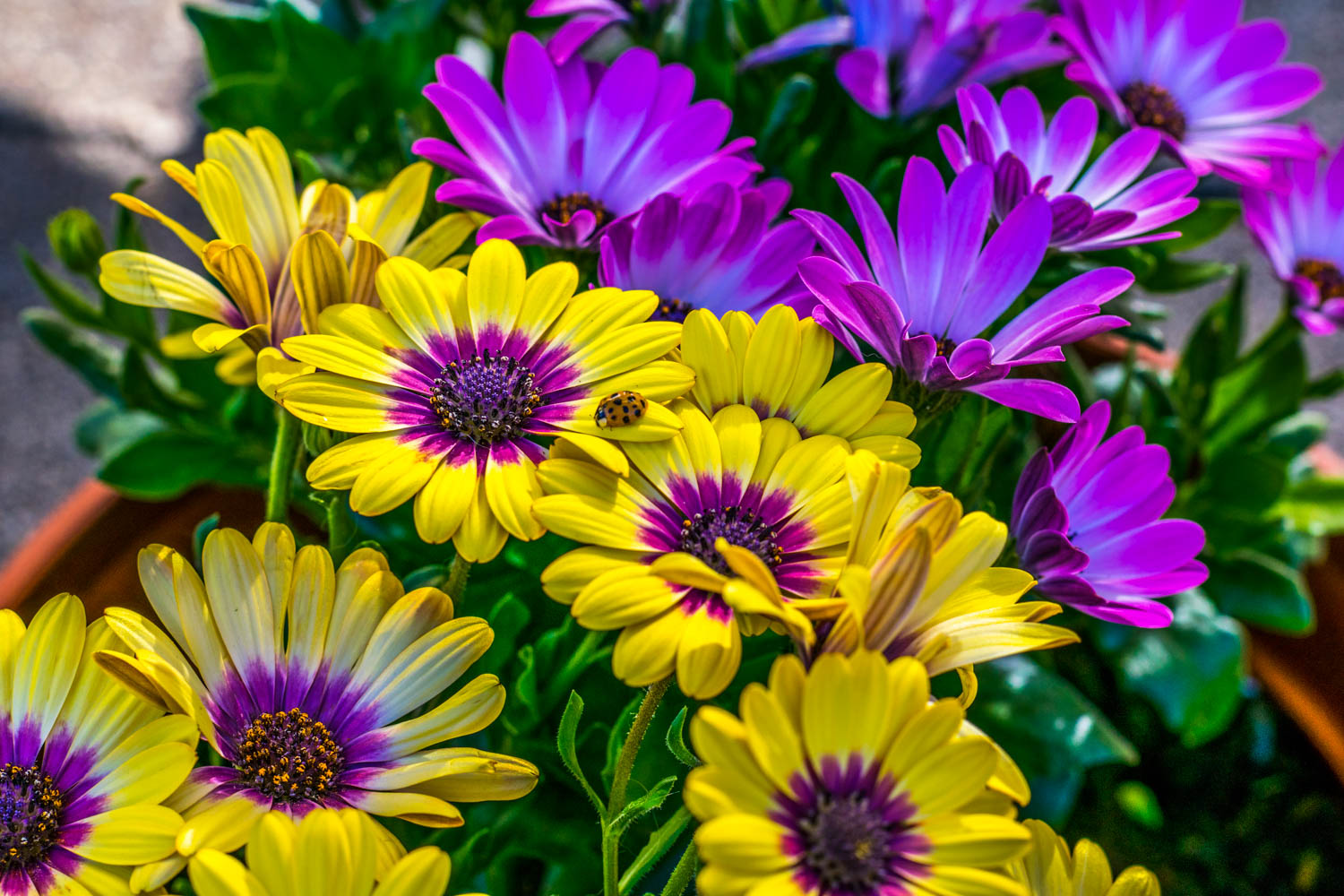
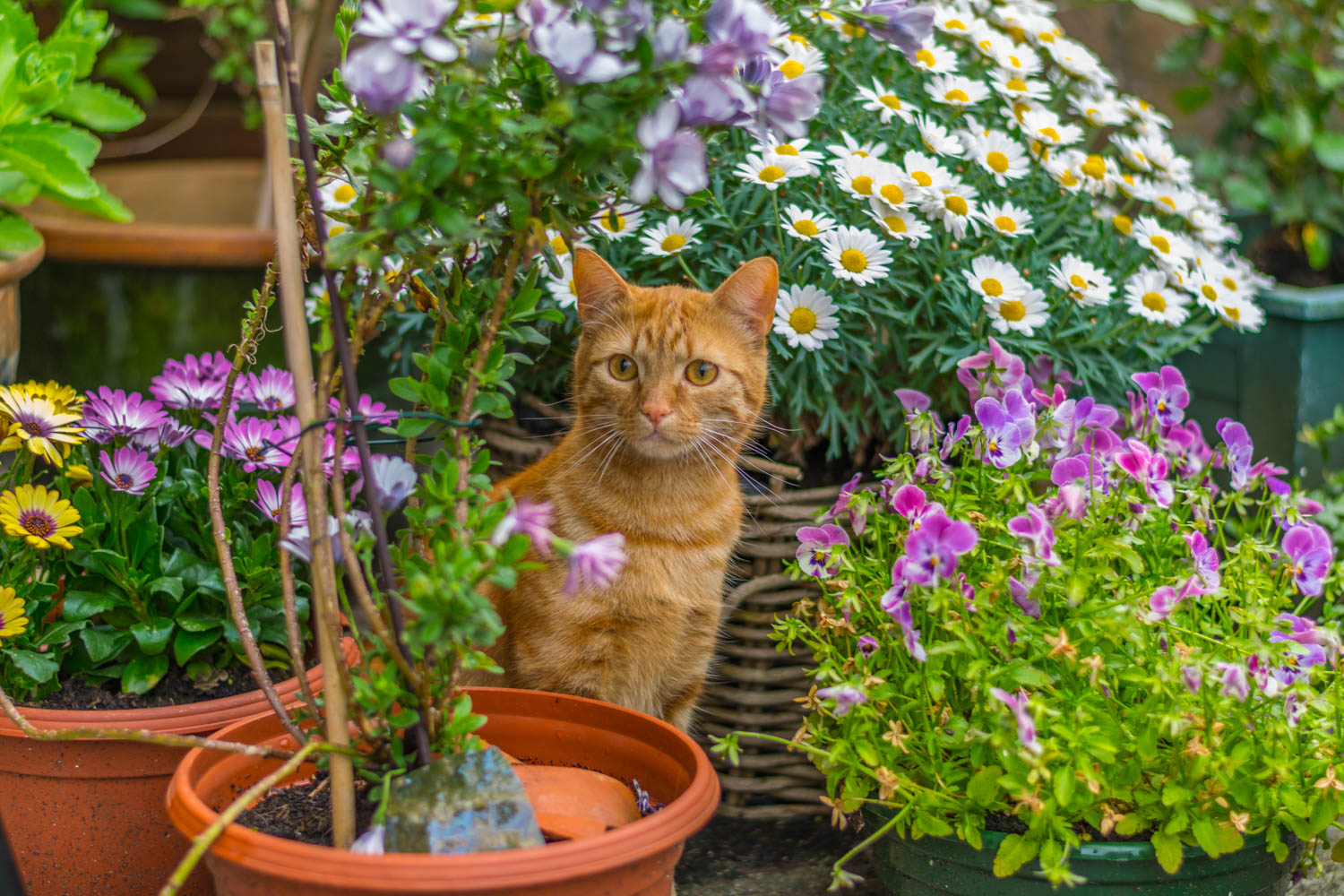
My girlfriend and I love plants and flowers, so every year our terrace looks so very beautiful, with a lot of hard work of course.
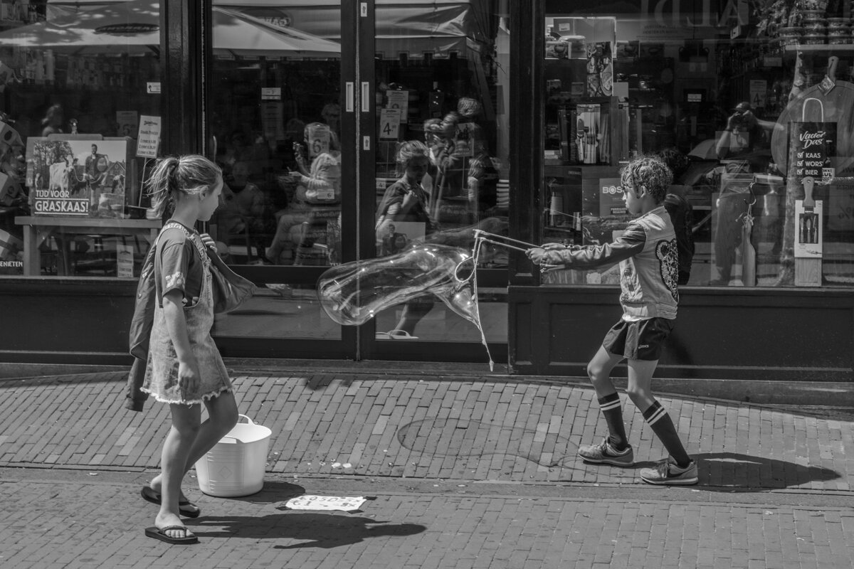
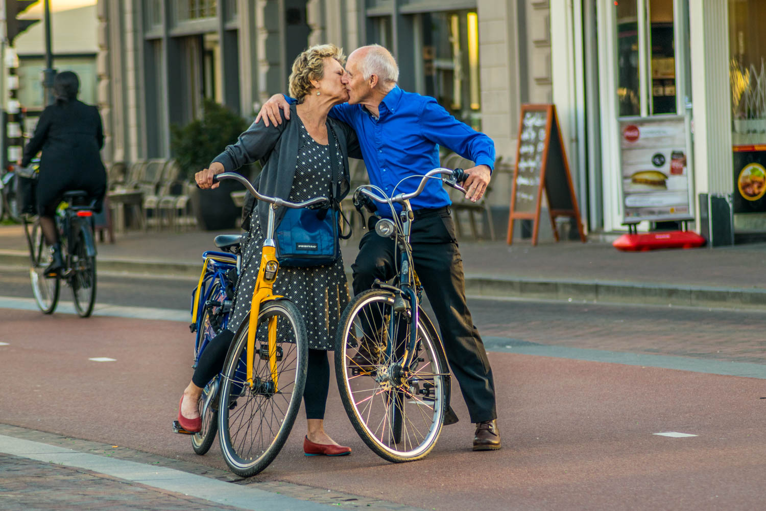
The streets of Haarlem can give you a lot to photograph. from landscape to street photography. its always nice to see children having fun here, since the sidewalks are their playgrounds.
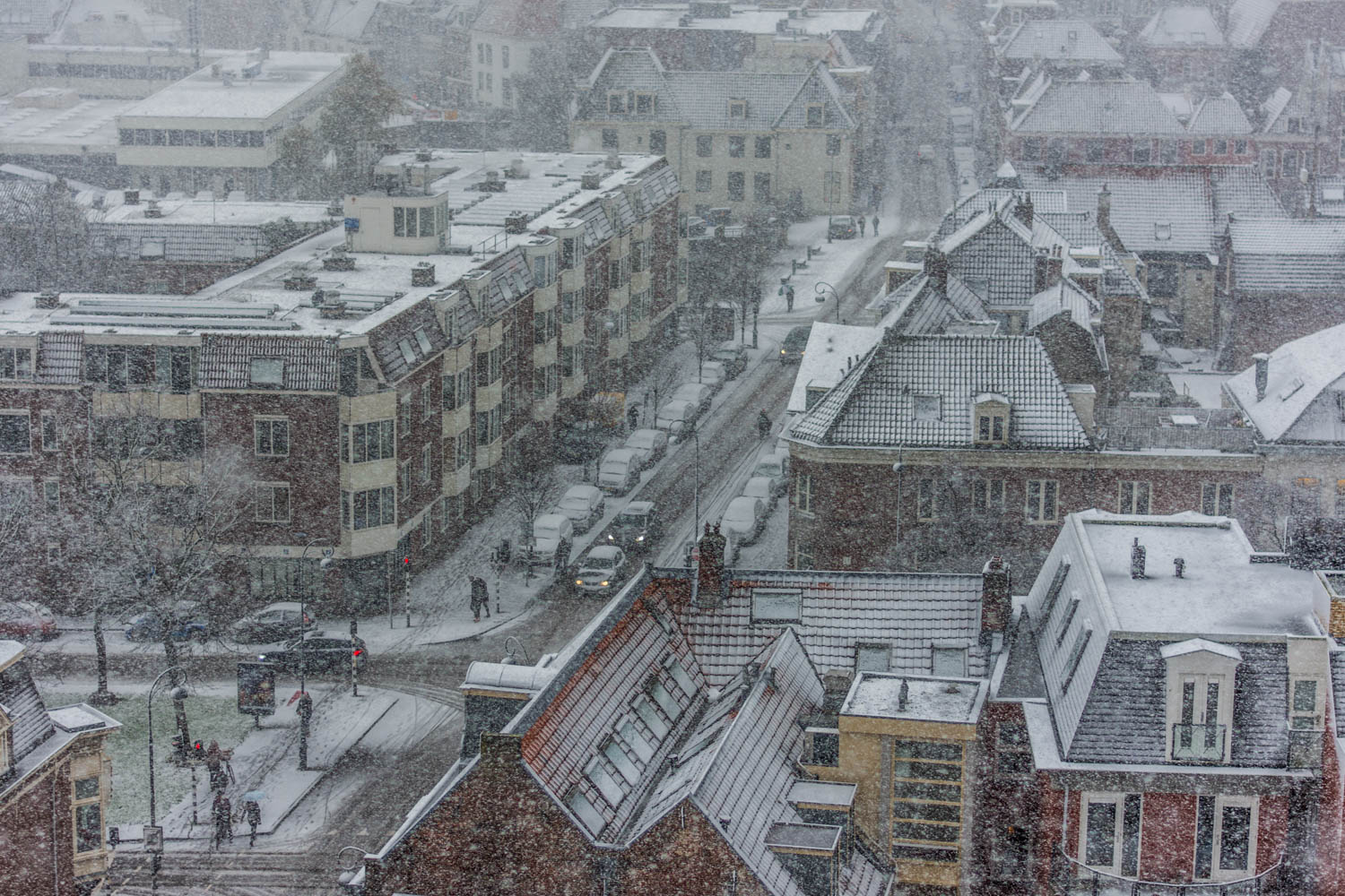
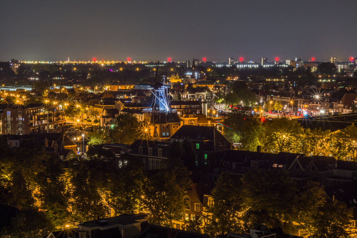
From the 7th floor of our building we live in. Had to get some snowing shots since we dont see much snow here in Haarlem.

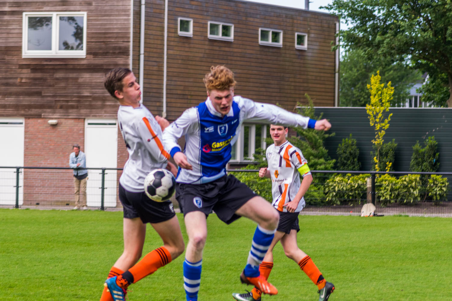
My job here was to go around taking shots of people throughout the event. There was live music and dancing.
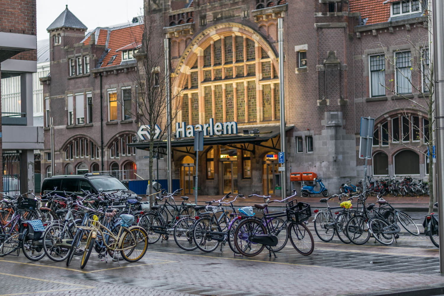
The Haarlem train station is where I like to stroll around to get some of my street photography. People waiting for their rides ,in a hurry, going to work or coming home makes for some great shots.
From WikiPedia
Haarlem has a rich history dating back to pre-medieval times, as it lies on a thin strip of land above sea level known as the strandwal (beach ridge), which connects Leiden to Alkmaar. The people on this narrow strip of land struggled against the waters of the North Sea from the west, and the waters of the IJ and the Haarlem Lake from the east. Haarlem became wealthy with toll revenues that it collected from ships and travellers moving on this busy North-South route. However, as shipping became increasingly important economically, the city of Amsterdam became the main Dutch city of North Holland during the Dutch Golden Age. The town of Halfweg became a suburb, and Haarlem became a quiet bedroom community, and for this reason Haarlem still has many of its central medieval buildings intact. Nowadays many of them are on the Dutch Heritage register known as Rijksmonuments. The list of Rijksmonuments in Haarlem gives an overview of these per neighbourhood, with the majority in the old city centre.
Middle Ages[edit]
The oldest mentioning of Haarlem dates from the 10th century.[6] The name probably comes from "Haarlo-heim".[7] This name is composed of three elements: haar, lo and heim. There is not much dispute about the meaning of lo and heim; in Old Dutch toponyms lo always refers to 'forest' and heim (heem, em or um) to 'home' or 'house'. Haar, however, has several meanings, one of them corresponding with the location of Haarlem on a sand dune: 'elevated place'. The name Haarlem or Haarloheim would therefore mean 'home on a forested dune'.
There was a stream called "De Beek", dug from the peat grounds west of the river Spaarne as a drainage canal. Over the centuries the Beek was turned into an underground canal, as the city grew larger and the space was needed for construction. Over time it began to silt up and in the 19th century it was filled in. The location of the village was a good one: by the river Spaarne, and by a major road going south to north. By the 12th century it was a fortified town, and Haarlem became the residence of the Counts of Holland.
In 1219 the knights of Haarlem were laurelled by Count Willem I, because they had conquered the Egyptian port of Damietta (or Damiate in Dutch, present-day Dimyat) in the fifth crusade. Haarlem received the right to bear the Count's sword and cross in its coat of arms. On 23 November 1245 Count Willem II granted Haarlem city rights. This implied a number of privileges, among which the right for the sheriff and magistrates to administer justice, instead of the Count. This allowed for a quicker and more efficient judiciary system, more suited to the needs of the growing city.
After a siege from the surrounding area of Kennemerland in 1270 a defensive wall was built around the city. Most likely this was an earthen wall, with wooden gates. Originally the city started out between Spaarne, Oudegracht, Ridderstraat, Bakenessergracht and Naussaustraat. In the 14th century the city expanded, and the Burgwalbuurt, Bakenes and the area around the Oudegracht became part of the city. The old defenses proved not to be sufficiently strong for the expanded city, and at the end of the 14th century a 16½-metre high wall was built, complete with a 15-metre wide canal circling the city. In 1304 the Flemish threatened the city, but they were defeated by Witte van Haemstede at Manpad.
City Hall on the Grote Markt, built in the 14th century, replacing the Count's castle, after this had burnt down partially. The remainders were given to the city.
All the city's buildings were made of wood, and fire was a great risk. In 1328 nearly the whole city burnt down. The Sint-Bavokerk was severely damaged, and rebuilding it would take more than 150 years. Again on 12 June 1347 there was a fire in the city. A third large fire, in 1351, destroyed many buildings including the Count's castle and the city hall. The Count did not need a castle in Haarlem because his castle in Den Haag had taken over all functions. The Count donated the ground to the city and later a new city hall was built there. The shape of the old city was square—this was inspired by the shape of ancient Jerusalem. After every fire the city was rebuilt quickly, an indication of the wealth of the city in those years. The Black Death came to the city in 1381. According to an estimate by a priest from Leiden the disease killed 5,000 people, about half the population at that time.
In the 14th century Haarlem was a major city. It was the second largest city in historical Holland after Dordrecht and before Delft, Leiden, Amsterdam, Gouda and Rotterdam. In 1429 the city gained the right to collect tolls, including ships passing the city on the Spaarne river. At the end of the Middle Ages Haarlem was a flourishing city with a large textile industry, shipyards and beer breweries. Around 1428 the city was put under siege by the army of Jacqueline, Countess of Hainaut. Haarlem had taken side with the Cods in the Hook and Cod wars, and thus against Jacoba of Bavaria. The entire Haarlemmerhout wood was burnt down by the enemy.


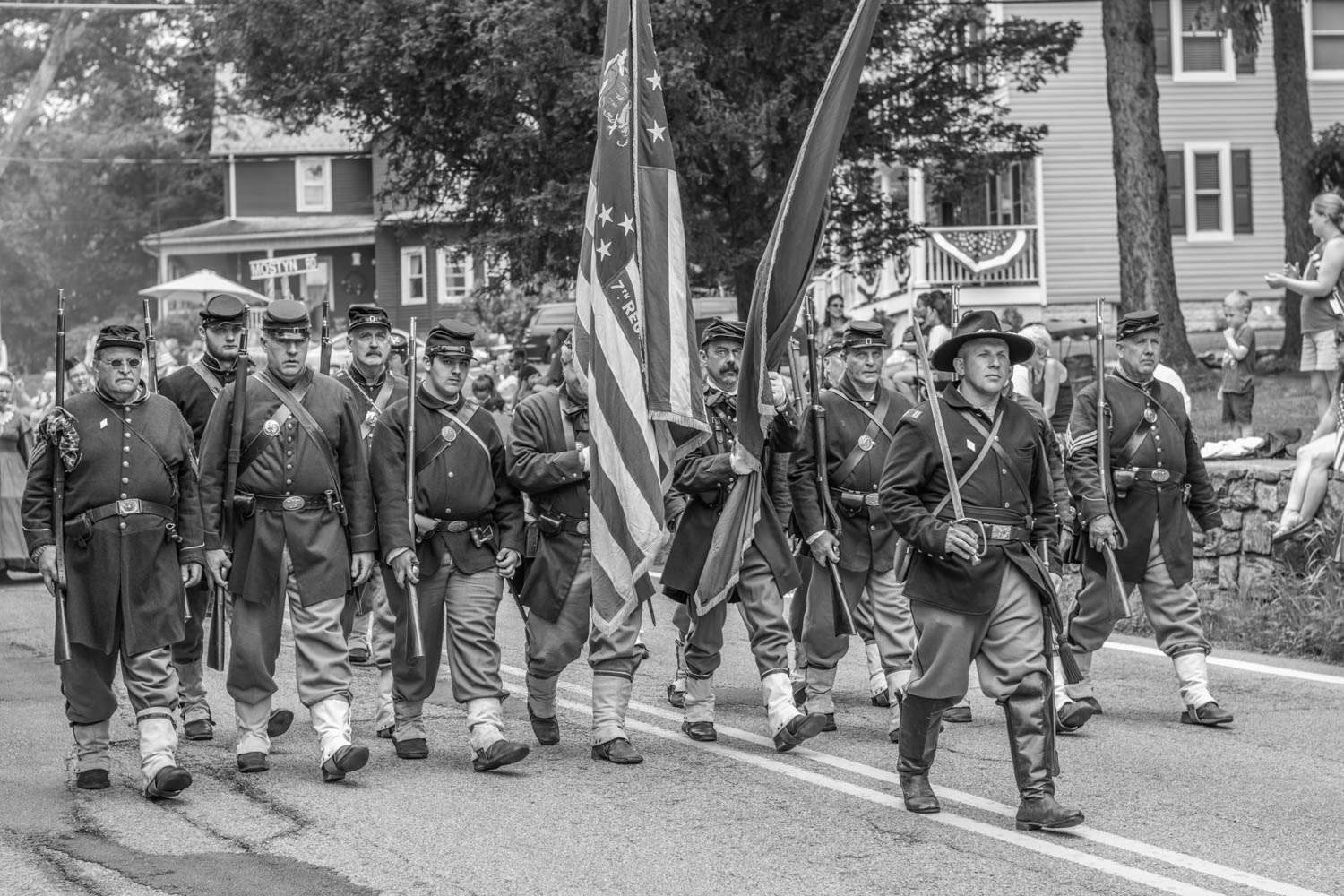
Every summer I get to go see my family and it falls close to July 4th, the parade goes right past my parents house so I get some very nice shots.